Puerto Vallarta Fast Facts, Travel Tips & Information

Puerto Vallarta Malecon/Boardwalk, early morning shot

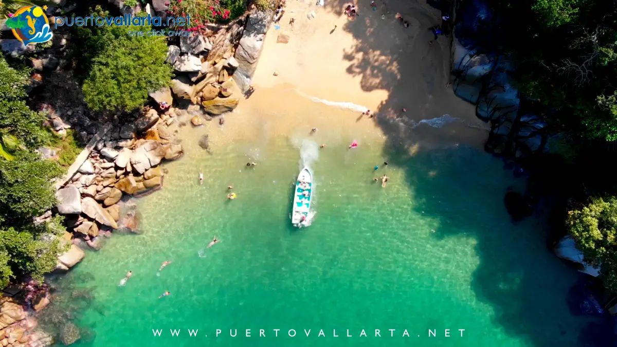
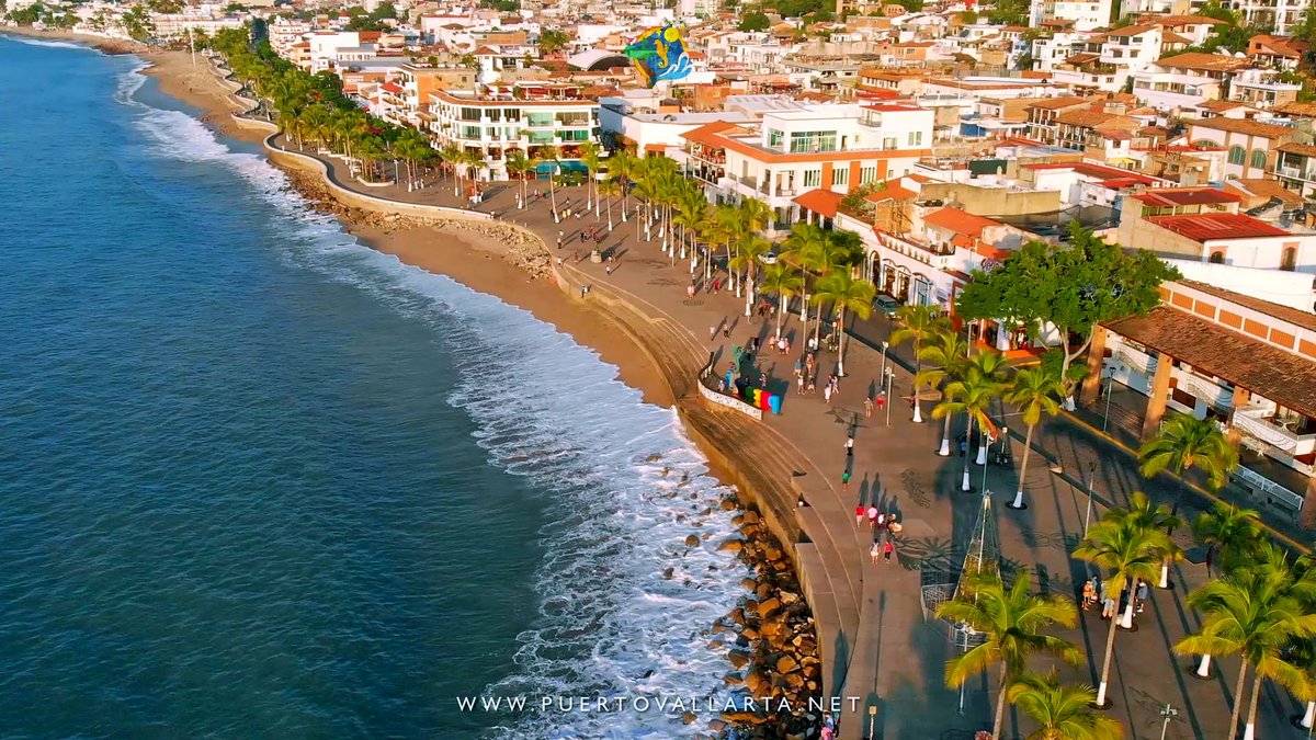
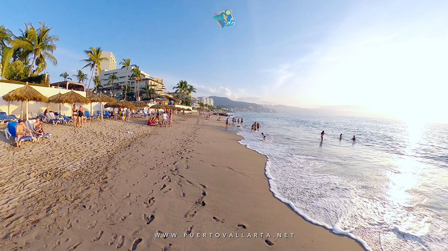
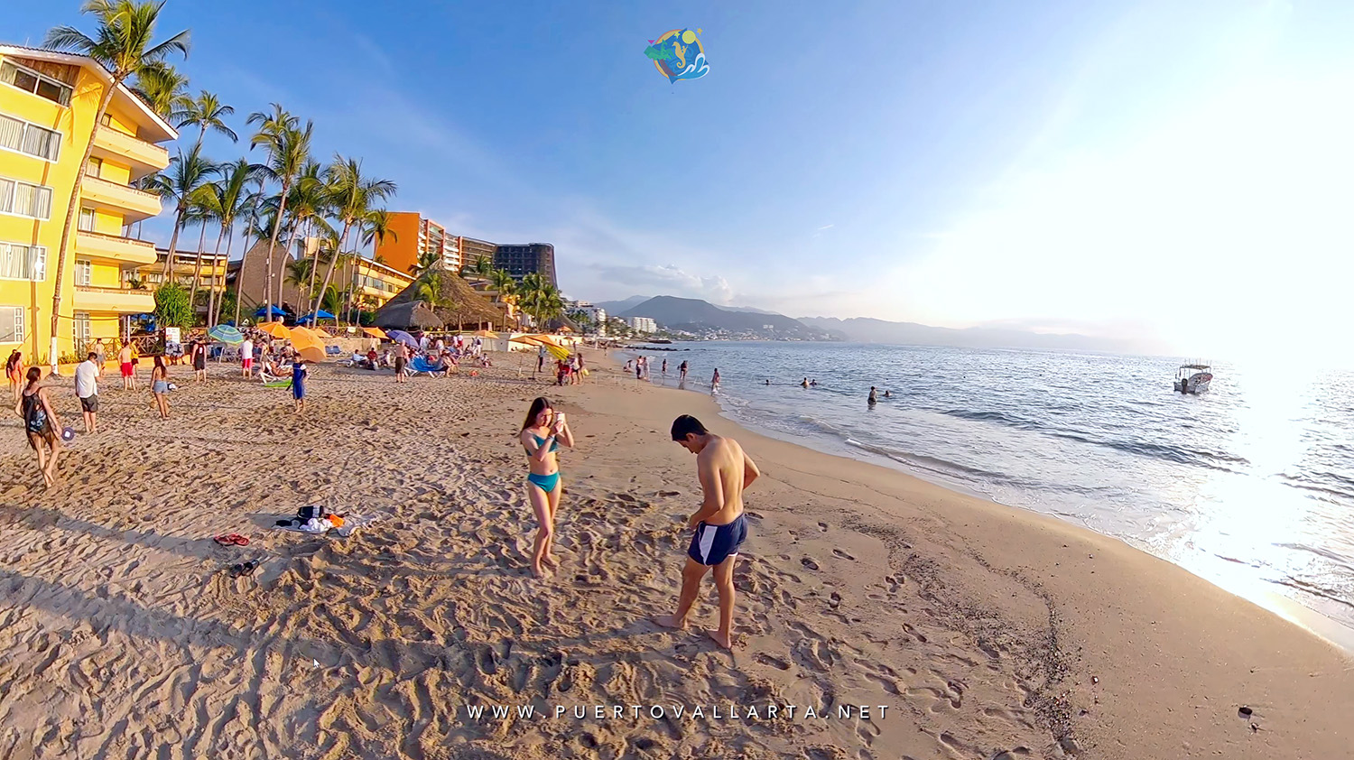
Blessed with 25 miles of golden beaches within the spectacular Banderas Bay, Puerto Vallarta offers limitless possibilities for enjoying the town, jungle, and ocean. Here we try to cover most options, and hopefully, all your doubts regarding this city are answered, if not, feel free to contact us.


General Puerto Vallarta Information


Business, Taxes & Money


Travel, Visas & Location


Health, Safety & Well-being


Communication & Data


Famous People & Mexico


Some quick facts

Currency, Banks & Money Exchange
The Mexican Peso is the national currency, although USA dollars are widely accepted in businesses throughout town. Major credit cards are also accepted in most establishments (Visa, Mastercard, American Express are standard, some also receive Diners). Hotels also offer currency exchange services, but normally at a lower rate. More at ATM, Banks & Currency.

Business Hours
Most shopping malls are open from 10 a.m. to 8 p.m., continuously. Many downtown businesses and shops tend to close between 2 p.m. and 4 p.m. for lunch, but malls and supermarkets are open even longer hours, without the midday rest. Read more.

Climate
Puerto Vallarta enjoys a warm, tropical climate all year-round, average daytime temperatures of 80ºF (27ºC), and cooler evenings in the winter. Summer is sunny, warm, and humid, with some afternoon rains, enough to cool things a bit. Read more in our Weather section.

Electricity
Mexico operates on the same 110-volt current as the United States, so electrical current adapters are not needed, not all plugs have 3 prongs, so you may need a plug adapter reducing from 3 to 2 prongs. Read more.
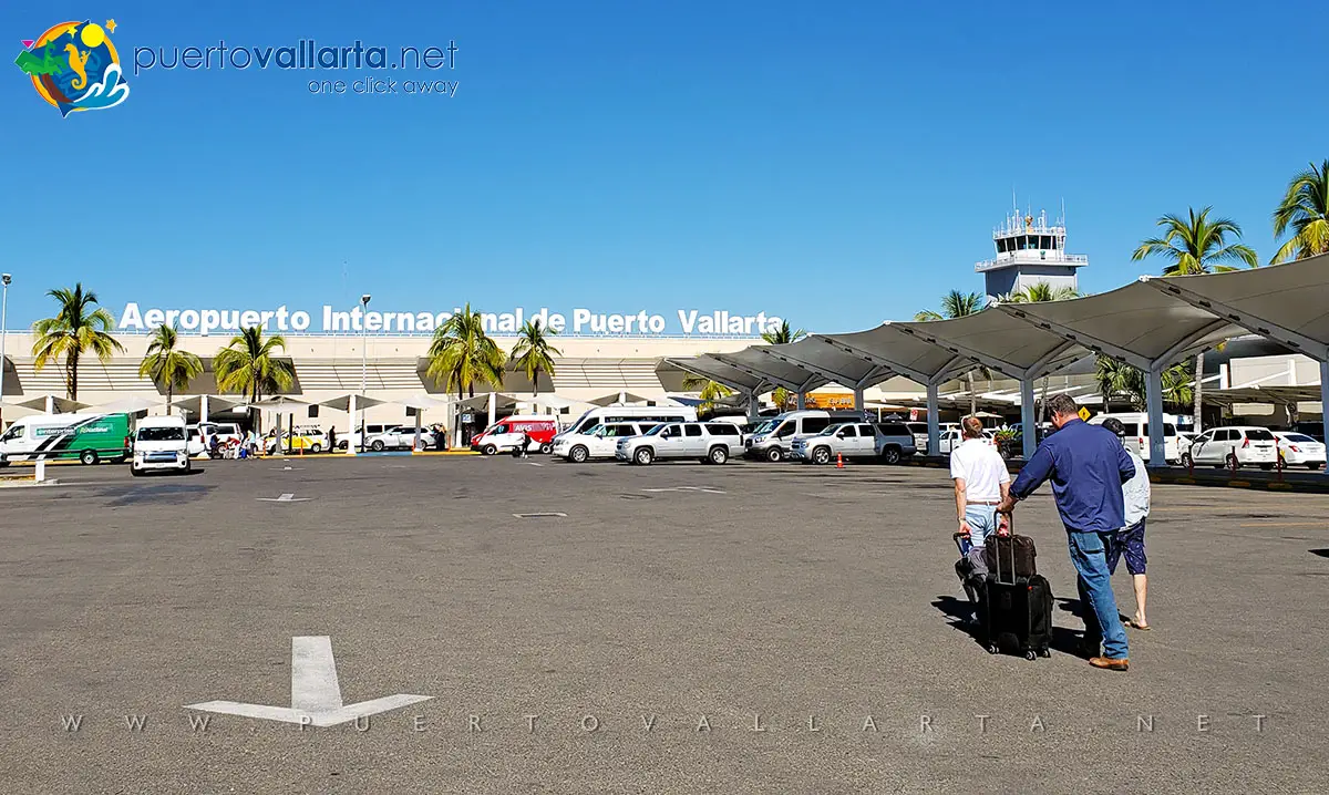
Flights/Gateways
Hundreds of flights per week service Puerto Vallarta’s International Airport (PVR), from gateways throughout the USA, Canada, and Mexico. International carriers include Aeromexico, Alaska Airlines, American Airlines, Delta, United, and others. More in the Airport information.

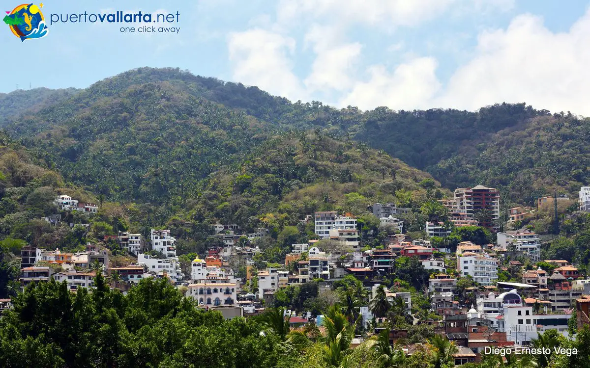
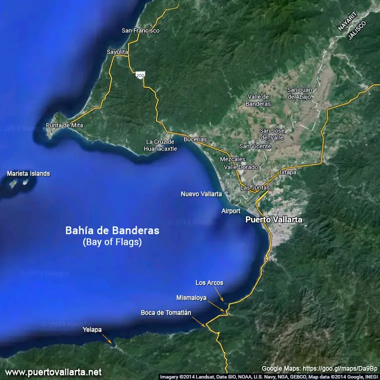
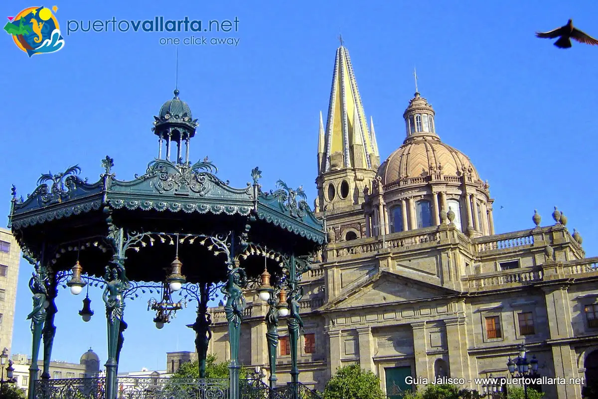
Geography / Location
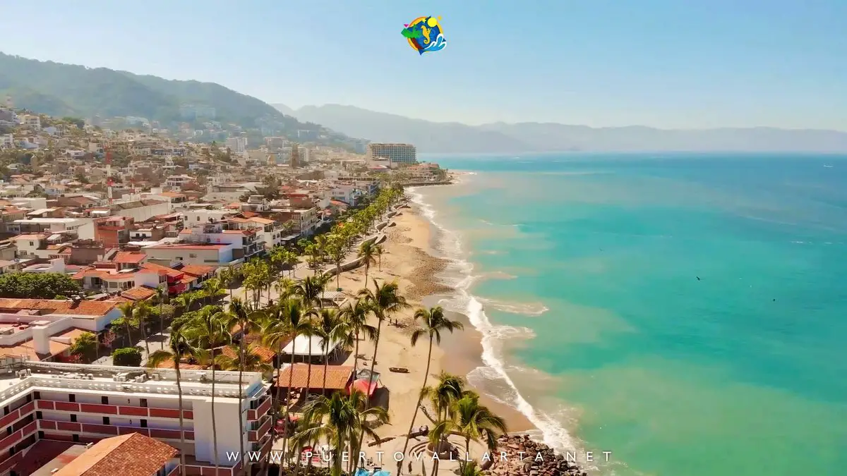
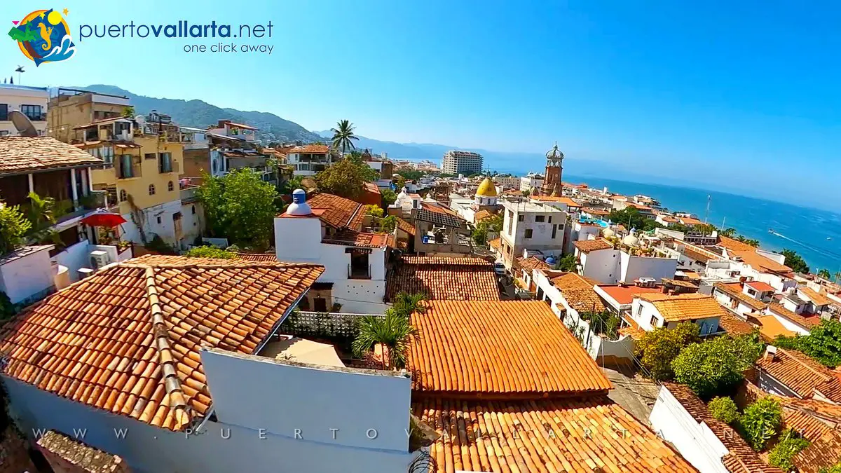
Located in the heart of Mexico’s Pacific coast, Vallarta is within easy reach of the USA and Canada by air. The city is encircled by the lush jungle-clad Sierra Madre mountains to the east and the Bay of Banderas to the west, one of Mexico’s largest natural bays. To the North is the State of Nayarit and Riviera Nayarit, which includes Nuevo Vallarta. Check out our map.
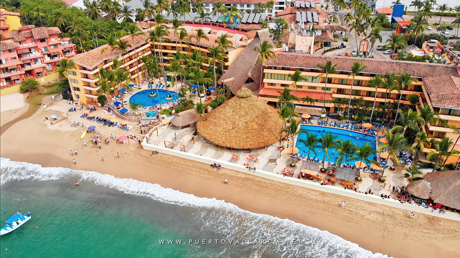
Accommodation
Over 22,000, in a wide variety of price ranges and styles. All-inclusive (AI) hotels and resorts offer both food, drinks, activities, and tips for one price. EP or European Plan rates only include the room. See more at hotels & resorts

Medical
Modern First-World medical facilities of the highest level. There are several private hospitals in Puerto Vallarta, with insured, emergency health care, and emergency air-evacuation services also available.

Population
PV is home to over inhabitants (2020 census) and attracts more than 5 million visitors annually (2019 CVB data).

Safety
This town enjoys a healthy economy and a stable political environment. A special tourist police corps is on hand to provide assistance and directions. Vallarta doesn’t have the violence the media informs about in the border towns and cities between the USA and Mexico, so the city and surroundings are just as safe (or even safer) than most comparable cities and towns in the USA and Canada. More on crime and safety.

Water Quality
Tap water is of a very high standard, even so, purified water is available in all hotels and restaurants.


Water Taxis (Pangas) going south from Boca de Tomatlan

[toc] Exploring the beaches of the South Zone When you travel to Puerto Vallarta, beaches are one of the main things you have on your mind. Relaxing at the beach, absorbing warmth, enjoying a stress-free day just basking in the waves, drinking your favorite cocktail, eating some exotic dish of shrimp or grilled fish, you fill in the dots. The beaches close to town can fill up easily, especially during the high season months. If that is the case when you come down to friendly Puerto Vallarta, then a trip down south to the beaches south of Mismaloya might just be what your doctor's recipe has recommended. Many great beaches in the southern part of the bay are wonderful exactly because they aren't accessible by land. You'll need to catch a water taxi (locally called "pangas") to get there and the easiest and fastest way to get one is to go to Boca de Tomatlan. Another option is to start off on the Los Muertos Beach Pier water taxis that take you south. How to get to Boca The easiest and cheapest way is to catch a public transport ...

The Papantla Pole Flyers in Puerto Vallarta

Papantla Flyers Ritual on the Puerto Vallarta Malecon/Boardwalk [toc] Introduction Ritual ceremony of the Voladores/The Ritual Dance of the Flyers (Malecon, Puerto Vallarta) Each day on the Malecón in downtown Vallarta an impressive and color-filled ritual takes place, the Papantla Flyers (informally known as the Papantla Pole Flyers). Colorful, spectacular, dangerous, but there's so much more beyond what you can see, there are centuries of tradition, prehispanic Gods. Learn more about this event, considered to be one, if not, the oldest in Mexico. To fly, the sweet dream for all mortals, is an ancient reality for the Flying Totonac dancers of Papantla, a small town in northern Veracruz, on the Mexican Gulf of Mexico coast. The official name is "La ceremonia ritual de los Voladores" (Ritual ceremony of the Voladores/The Ritual Dance of the Flyers), but you'll also find them as Danza de los Voladores (Dance of the Flyers) and Palo Volador (Flying pole). The Tradition Voladores de Papantla To be a macaw, an owl, a crow, a butterfly or an eagle is a privilege for the few men who from time immemorial have celebrated their gods in this spectacular dance filled ...

Where is Puerto Vallarta Located?

[toc] Puerto Vallarta is a city in the State of Jalisco, Mexico. It is located on the Pacific Ocean side of the country, that is, on the west coast. Where is PV on a map? / Why choose Puerto Vallarta? PV or Vallarta (as locals call the place) is a city located on the Pacific Coast of Mexico in the State of Jalisco In a large bay called Banderas Bay (Bay of Flags) or Bahía de Banderas. See it on the map. The city is 3 hours away by plane from Los Angeles, and just over 4:30 hours from Seattle, Vancouver, Calgary, Chicago, New York & Toronto. More air flight distances. Puerto Vallarta is on the same latitude as Hawaii and enjoys nearly perfect weather all year long. On the West coast of the state of Jalisco Between latitudes N20°27’00” and N20°59’00” & between longitudes W104°55’00” and W105°33’00” 6ft (2m) above sea level. Puerto Vallarta is a traditional Mexican town that offers beaches, jungles, and a city full of attractions, restaurants, and activities. Where is Puerto Vallarta? Puerto Vallarta is 220 miles West of Guadalajara (by land, this distance is shorter through Mascota, ...

All About Puerto Vallarta, Jalisco, Mexico

Puerto Vallarta (population 291,839 - 2020 census) is located on the Pacific coast in the Mexican State of Jalisco, within the Banderas Bay (Bahía de Banderas), which is considered to be one of the most beautiful bays in the World and happens to also be one of Mexico’s largest, measuring 26 miles (42 km) from East to West and 20 miles (32 km) from North to South. [Vallarta Map] [Map showing cities close to PV] [Map showing Mexico & USA] Puerto Vallarta Coat of Arms City founded on Dec. 12, 1851 Population 291,839 (2020 census) Area (Municipality): 1,300.7 km2 (502.19 sq. miles) 7 m (23 ft) over sea level Location: Bahía de Banderas (Banderas Bay), Jalisco State, Mexico Longitude/Latitude: 20°37'19" N/105°13'42" W Over 5 million in 2019 pre-COVID, more than 6 million in 2022. 2nd most important tourist beach destination in Mexico Read Magical Puerto Vallarta for a fan point-of-view of PV. Puerto Vallarta is an authentic Mexican destination. A list of awards the city has received. About security and crime in the city Coat of arms of Puerto Vallarta. The northern limit of the bay is Punta de Mita which is also considered ...

General Puerto Vallarta City Information

An overview Puerto Vallarta is a place anyone can enjoy, it not only is one of the most popular and most visited beach destinations in Mexico. About Puerto Vallarta A brief preview of our lovely Mexican town. Our PV Newbie Guide All you need to know if Puerto Vallarta is the place for your vacation. Puerto Vallarta's History From the 1500s 'til today, historical photos included. Why is Puerto Vallarta so famous? Is there something magical about this town. Where is Puerto Vallarta? The info you wanted to know about your friendly city. Puerto Vallarta, a famous love story - The Night of the Iguana Elizabeth Taylor and Richard Burton helped make this city memorable. Puerto Vallarta Travel Guide Provided by the Puerto Vallarta Tourism Office. In PDF (5Mb). Vallarta is blessed with both generous tropical weather with an average of around 300 sunny days a year. It offers beautiful jungles, nature, and hills give the area character, and a beautiful Bay bathes its clear sand beaches with emerald waters. And then to crown it all, the town is recognized internationally for its friendly Vallarta inhabitants, something that'll make your vacation one for the memory book. Don't take our word for ...

About Mexico, traditions and general information

Huicholes or Wixárika, Original Mexican cultures [toc] This section is dedicated to Mexico. We offer general information on traditions, famous Mexicans, food and drink, prehispanic info and more. When you are informed you can enjoy the new Mexican experiences even more. We know you'll find useful information here and that it will help you get the most out of your trip to Puerto Vallarta plus you'll learn a bit more about this very interesting country: Viva México! Mexican Arts & Traditions Traditional Mariachi/Charro dances Day of the Dead (Día de Muertos) a party for the living Learn a bit more about this very interesting and refreshing Mexican tradition. El Grito The Grito de Dolores is celebrated every year on the night between September 15th and 16th is a Mexican holiday par excellence, it is the night when all citizens of Mexico celebrate their independence from the Spanish conquerors. La Charreria and the Charro, that's Mexico Jalisco, the state where Puerto Vallarta is located, is the birthplace of most of the traditions that best represent Mexico. Mexico, folklore, and festivities Mexico is synonymous with bright colors, songs, dances, ceremonies, fireworks, original costumes and more... Mexico, ...

Puerto Vallarta International Airport (PVR)

[toc] Puerto Vallarta International Airport Data Single runway (length: 10700 ft/3300m|width: 150 ft/46m). 7.01 meters above sea level. Distances to: Downtown Puerto Vallarta: 10 to 15 minutes, 5 miles (8.5 km). Marina Vallarta: 5 minutes, 1.4 miles (2.2 km - can be less). Nuevo Vallarta: 15 to 20 minutes, 8 miles min. (13 km). FlightStats code: PVR IATA code: PVR ICAO code: MMPR Inaugurated August 20th, 1970 (construction began in 1966). Latitude/Longitude: 20.678297/-105.24898 Passengers per year: 5.05 million in 2019, 2.53 million (2020), 4.1 million (2021), 6.2 million (2022) & 6.8 million (2023). Time Zone: -6:00 hours from UTC/GMT (see the current time) Phone numbers: (322) 221-1325 / (322) 221-1537 / (322) 221-1298 Address: Carretera a Tepic Km. 7.5, Colonia Villa Las Flores, Puerto Vallarta, CP 48311, Jalisco, Mexico. Official website General Airport Information Puerto Vallarta's International Airport (Licenciado Gustavo Díaz Ordaz [Code: PVR]) is well connected to North America's major airport hubs, both in the US and in Canada. Scheduled flights operate from several U.S. cities: Chicago, Dallas/Fort Worth, Denver, Houston, Los Angeles, and more (for a full list see airline routes) and some of Canada's main cities (Vancouver, Toronto, ...

Banderas Bay (Bahía de Banderas) the home of Puerto Vallarta

Puerto Vallarta across the bay from the hotel zone Based on an article by City Historian Juan Manuel Gomez Encarnación. Our beautiful Banderas Bay (Bahía de Banderas: Bay of Flags) shares beaches with three municipalities: Cabo Corrientes and Puerto Vallarta in the Jalisco state; and Bahia de Banderas in Nayarit state. Marina Vallarta to Los Arcos - partial view of the Banderas Bay and Puerto Vallarta, source: Superego on Vimeo Banderas Bay is located on the west-central coast of the Mexican Pacific, between the southwest part of the state of Nayarit and the western part of Jalisco. The Sierras (mountain ranges) that surround the bay are Sierra Vallejo on the northern part, Sierra Cuale to the East, and Sierra El Tuito to the south and southeast. It is geographically located between the parallels 20°15' and 20°47' N and between the meridians 105°15' and 105°42' W. The bay starts off in the north with Punta de Mita, Nayarit and ends on the south side at Cabo Corrientes, Jalisco. Its coastline, 65 miles long, is divided into the following: the north coast of Punta de Mita to Bucerias is about 15 miles; East Coast, Bucerintos ...

About the State of Jalisco Mexico

[toc] Jalisco is one of the 31 states that together with the Federal District (Distrito Federal or DF), comprise the 32 states of The United States of Mexico. It is also one of the most important states in the Mexican Republic, both due to the richness and fertility of the land as well as its historical significance. The state is also the 4th most populated states and is one of the most important in economic significance, commerce and also culture. Demonym: Jalisciense Capital: Guadalajara Latitude: 20° 41' N Longitude: 103° 21' O Area: 78,599 km2 (30347 square miles) Average height: 1,540m o.s.l. Weather: Most of the state has a temperate climate, humid summers which are tropical. Population 2010: 7.350.682 inhabitants. Political layout: 125 Municipalities Regions: 12 Coasts: 341,93 km (210 miles) It is found on the western coast of Mexico, borders with Nayarit to the NW, Aguascalientes, and Zacatecas to the N; to the NE with the state of Durango; Guanajuato and San Luis Potosí to the E and Colima and Michoacán to the South. The western coast is comprised of more than 200 miles of Pacific Ocean. It ...

The Sacred Aztec Ball Game

An Aztec Tlachtli warrior By Felipe Solís The Spanish king, Charles V (Carlos V), and his court must have been completely stunned when a group of Aztec ball players from Mexico - whose lands had recently been conquered in the the king's name in the early 16th century - demonstrated their ability to hit a rubber ball with their hips. It was Hernando Cortés, the conqueror of the Aztec empire, who, on one of his return trips to the Spanish Peninsula, took these players with him, causing great admiration among the Europeans of the time. The public, unaccustomed to a public spectacle of half-naked bodies, could easily appreciate the muscular contractions in the bodies of these players, since their only attire was their maxtlatl - the loincloth traditionally used by men - and leather protectors for their buttocks, knees and ankles. In addition to their movements, which were both elegant and virile, spectators were impressed by the speed and force of the rebound of these spherical objects made of rubber, a material native to the Americas, unknown until then in the Old World, where the balls were made of rags or leather, which made them slow and heavy. ...

Go to Top
Book Now