This Map of Puerto Vallarta (which includes Nuevo Vallarta and Banderas Bay, Mexico) offers a detailed view of mainly the city of PV, as you zoom in more and more detail will appear. Please take into account that features, streets, hotels, supermarkets, parks, gas stations, churches, and much more will only be visible once you zoom in enough. Only general features will be visible initially. This is one of the most detailed maps of Puerto Vallarta and we hope you enjoy it.
Hotel Maps for each city zone
Hotels in Puerto Vallarta
Location Maps
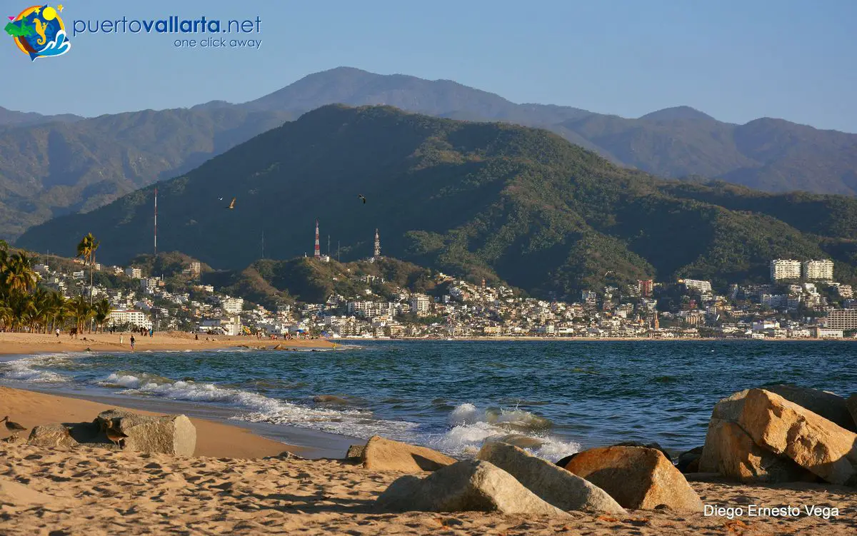
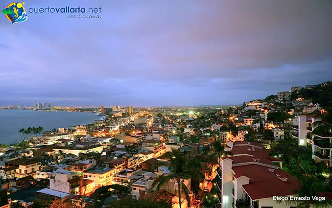
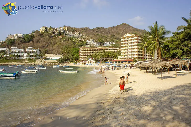
Puerto Vallarta beaches and city
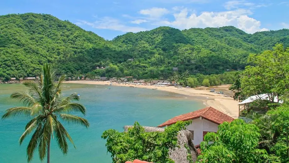
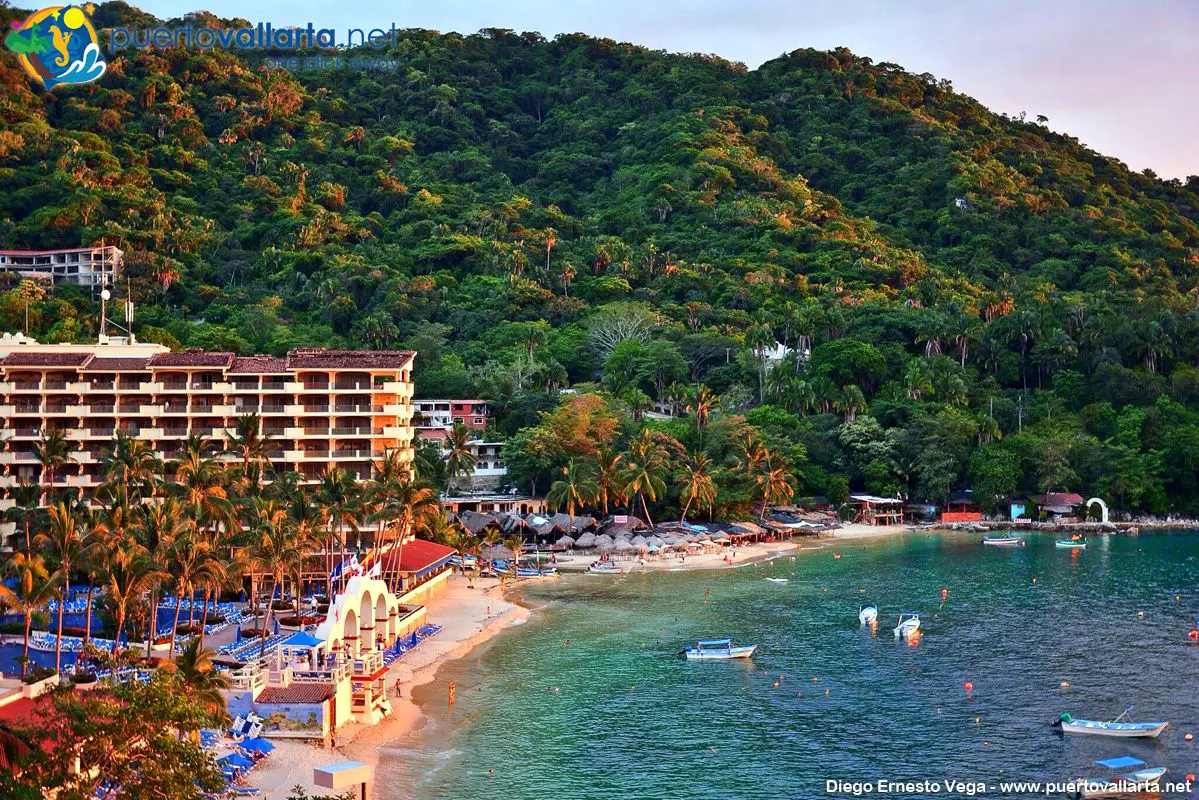
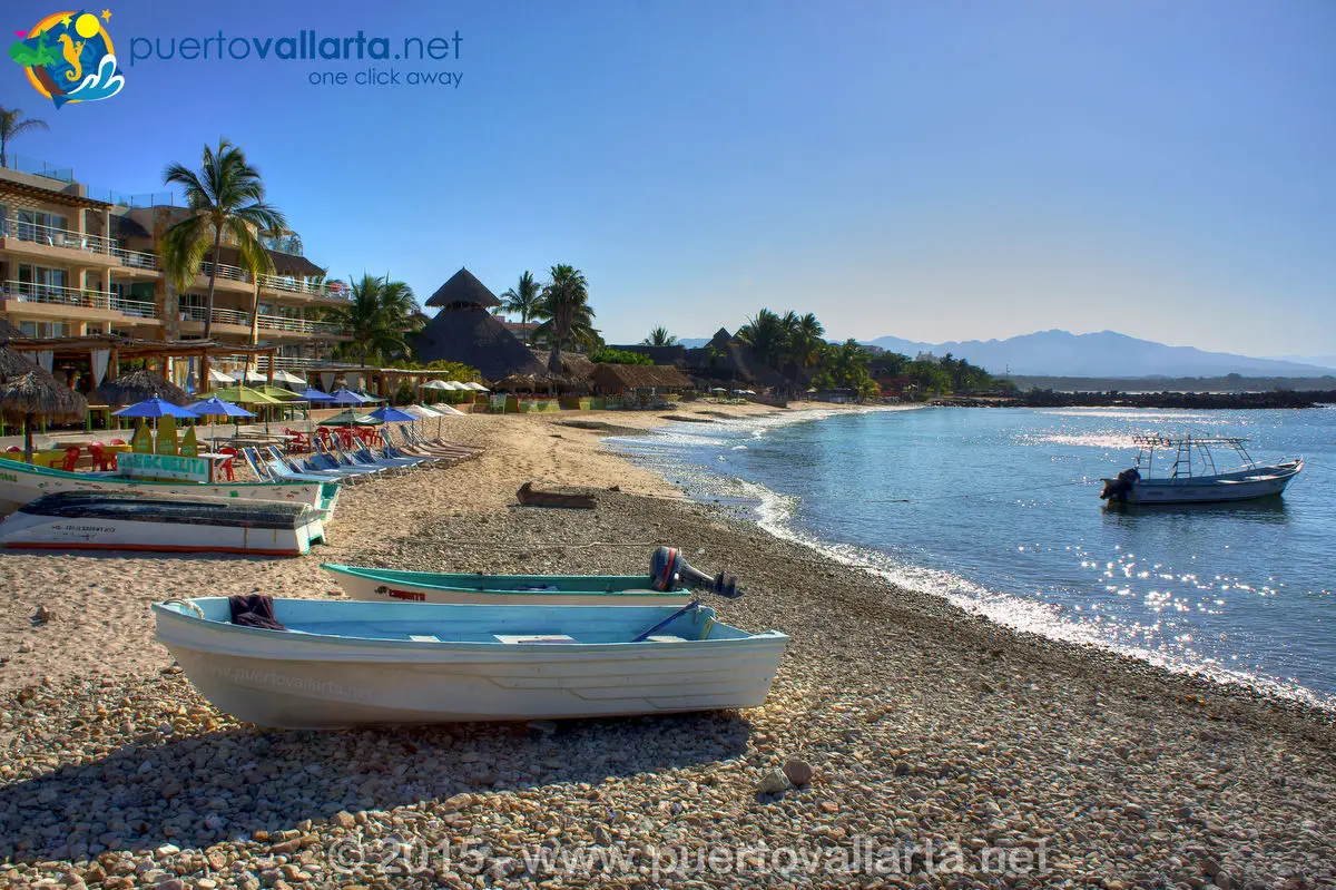
- Beaches in the Banderas Bay
- Magical Puerto Vallarta
- Mexico Road Map
- North Zone
- Riviera Nayarit
- Banderas Bay (Bahía de Banderas)
- Short and Longer Day Trips
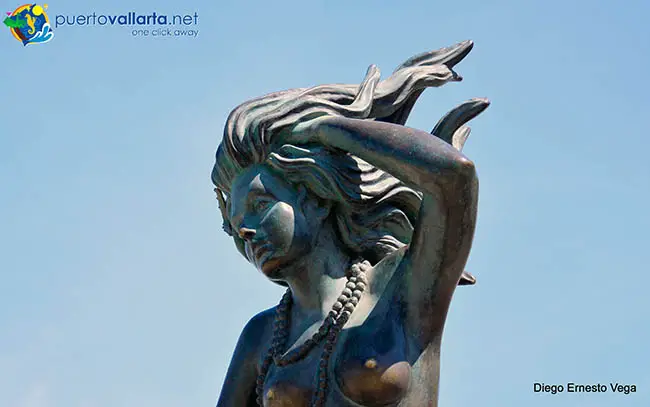
- Statues & Sculptures on the Malecon
- Statues & Sculptures in the City
- Surf Locations map
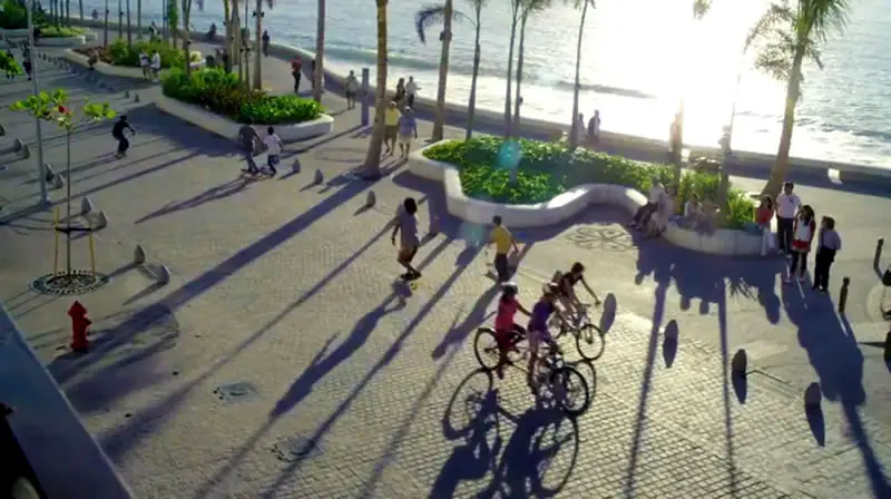
- Things To Do in Puerto Vallarta
- Top 10 Things To Do in PV
- Webcams in the Bay Area
- Wixárika / Huicholes
- Zone map
Services & Shopping maps
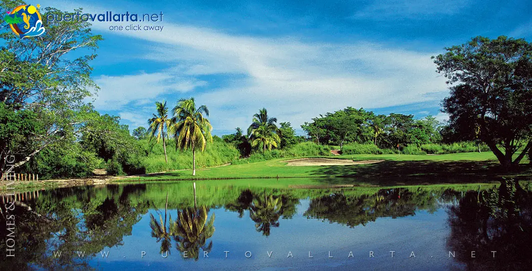
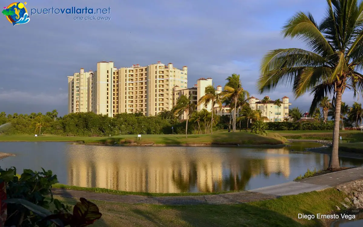
Puerto Vallarta Golf